When the end goal is just visualisation or a promotional image for the web, drones can capture highly detailed images, some examples are shown below shown below.
For construction projects we can visit your site on regular intervals to photograph the phases of construction from the air. Hovering at a desired height and fixed GPS position, each site visit will yield the same view, capturing the different phases from the exact same angle. We can shoot single images, large panoramic stitches covering huge areas with the ability to print on a large scale and 360 degree interactive aerial panoramas.
Clicking on an image will give a full screen version in a new tab.
Drone– DJI Inspire 2
Altitude – 50m
Sensor – DJI Zenmuse X5S
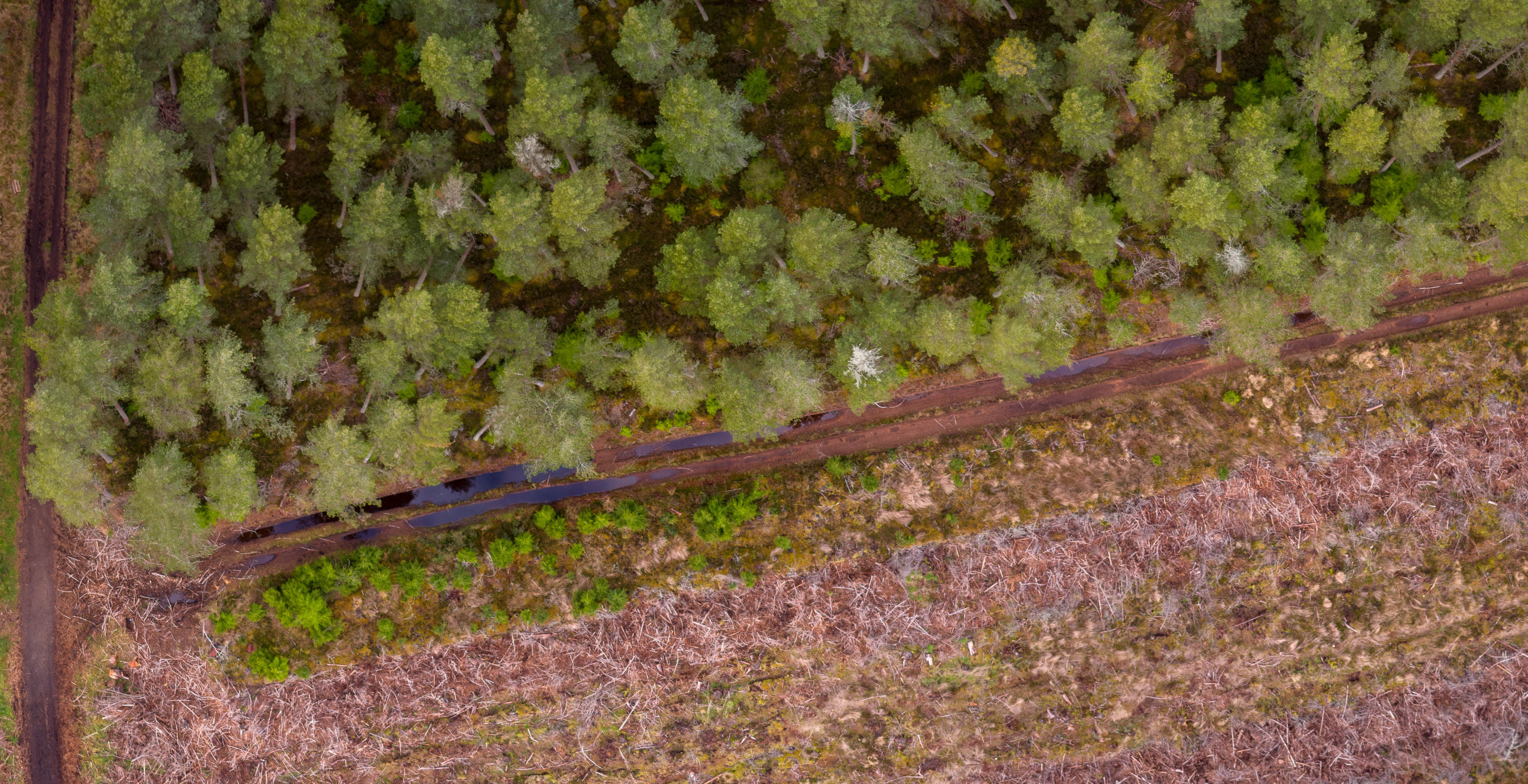
Image showing woodland edge with regeneration as well as crown dieback in some of the mature trees.
Drone– DJI Mavic Pro
Altitude – 100m
Sensor – On board camera
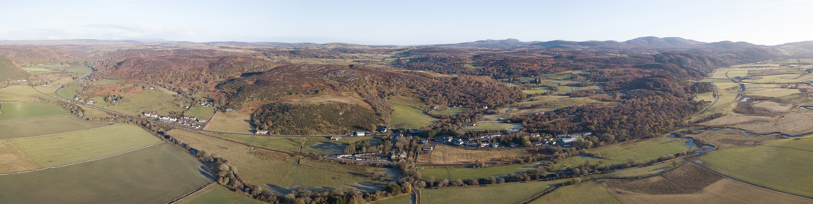
A promotional image taken for Rogart Development Trust. Eight RAW images stitched together in Adobe Lightroom
Drone– DJI Mavic pro
Altitude – 50m
Sensor – On board camera
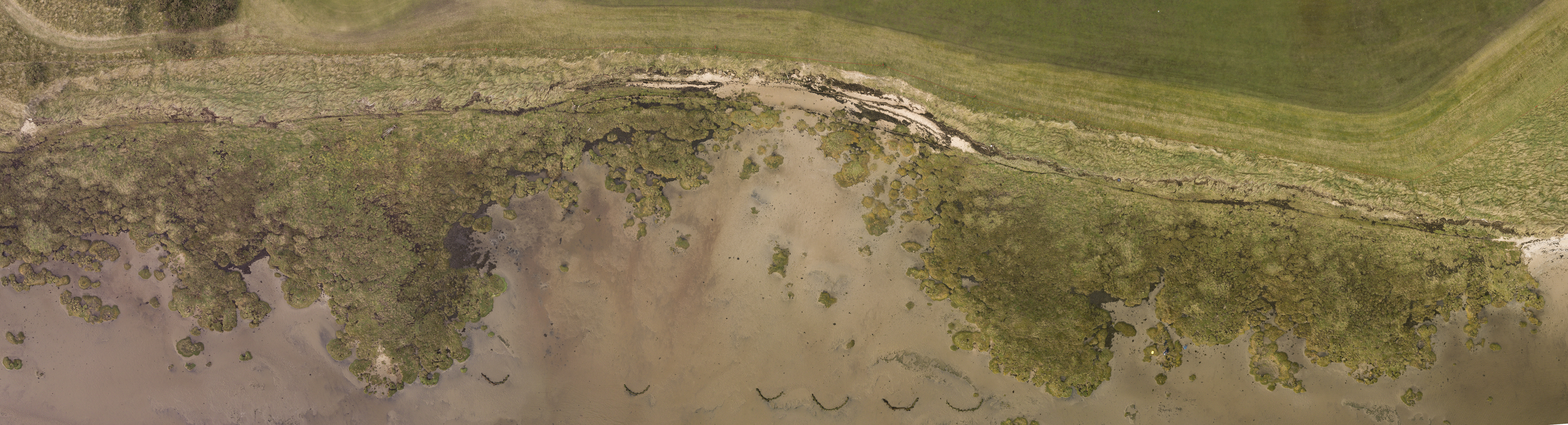
An image produced for the Scottish Government’s Dynamic Coast project. Seven RAW images stitched together in Adobe Lightroom.